
How Google is Turning 5 Million News Reports into a Lifesaving Flash Flood Predictor
Flash floods are among the most volatile and lethal weather phenomena on the planet. Every year, these sudden surges of water claim more than 5,000 lives, often striking with little to no warning. While meteorologists have become remarkably adept at predicting large-scale events like hurricanes or seasonal river flooding, flash floods remain a stubborn "blind spot" in global weather forecasting.
The reason for this isn't a lack of computing power, but a lack of data. To train the deep learning models that power modern weather apps, scientists need historical records. However, flash floods are often too localized and short-lived to be captured by traditional sensors like river gauges. To bridge this gap, Google Research has turned to an unconventional source of information: the archives of local news.
The Data Gap in Hydrology
In the world of weather forecasting, data is the lifeblood of accuracy. For major rivers, we have decades of flow data recorded by physical sensors. But flash floods often happen in small creeks, urban streets, or remote ravines where no sensors exist. Without a record of where and when these floods happened in the past, AI models cannot learn the patterns necessary to predict them in the future.
This is what researchers call the "ground truth" problem. If a tree falls in a forest and no sensor records the vibration, did it happen? In hydrological terms, if a flash flood destroys a bridge in a rural village but there is no river gauge nearby, that event effectively never happened as far as a computer model is concerned. This missing information makes it nearly impossible to train global AI models to recognize the precursors of a flash flood.
Gemini and the Groundsource Project
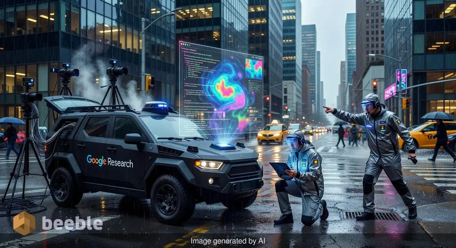
To solve this, Google researchers leveraged Gemini—the company’s most advanced large language model—to perform a massive digital archaeological dig. The team tasked the AI with reading through 5 million news articles spanning several decades and dozens of languages.
The goal was to find "unstructured" reports of flooding—local news snippets, emergency dispatches, and community archives—and transform them into "structured" data. Gemini didn't just look for the word "flood"; it analyzed the context to determine the exact location, the timing, and the severity of the event.
The result is a dataset called "Groundsource." It contains 2.6 million distinct flood events, each geo-tagged and timestamped. This represents a massive leap in our historical record, providing a high-resolution map of where water has struck in the past, even in areas where physical infrastructure is non-existent.
Turning Language into Logic
Using a language model for hydrological research is a novel approach. Gila Loike, a Google Research product manager, noted that this is the first time the company has used LLMs to build this specific type of environmental time-series data.
Think of it as a translation layer. A news report might say, "Heavy rains caused the junction at 5th and Main to submerge under three feet of water last Tuesday." Gemini translates that sentence into a set of coordinates, a date, and a magnitude. When you multiply this by millions of articles, you suddenly have a dense web of data points that can be overlaid with historical satellite imagery and rainfall records.
By comparing these news-derived reports with atmospheric data, Google’s deep learning models can finally see the "why" behind the "where." They can identify that a specific amount of rainfall in a specific topography leads to a flood, even if there isn't a single physical sensor in the vicinity.
Global Equity in Disaster Warning
One of the most significant aspects of the Groundsource project is its potential to help the Global South. Developing nations often lack the budget to install and maintain expensive river gauging stations. Consequently, these regions are often the most vulnerable to climate-related disasters and the least equipped with early warning systems.
Because Groundsource relies on news reports and digital archives rather than physical hardware, it can provide historical context for regions that were previously data deserts. By making this dataset public, Google is providing local governments and NGOs with a foundation to build their own localized early warning systems.
Practical Takeaways for the Future
While the Groundsource dataset is primarily a tool for researchers and meteorologists, its implications will eventually reach the average smartphone user. Here is what this shift in forecasting means for the near future:
- Hyper-local Alerts: Expect flood warnings to become more specific. Instead of a county-wide watch, you may receive a notification for a specific neighborhood or roadway.
- Better Urban Planning: City planners can use this historical data to identify "hotspots" that news reports have highlighted for years, but which weren't officially recorded in hydrological databases.
- Insurance and Risk Assessment: More accurate historical data will likely change how flood insurance is priced and how risk is assessed in previously unmonitored areas.
- AI as a Multi-Tool: This project proves that LLMs are not just for writing emails or generating code; they are powerful tools for organizing the world's "messy" information into scientific datasets.
The Path Ahead
Google’s decision to share the Groundsource research and dataset publicly marks a shift toward collaborative climate AI. By providing the "ground truth" that was previously missing, they are inviting the global scientific community to refine these models.
As climate change increases the frequency and intensity of extreme weather, the ability to predict the unpredictable becomes a matter of survival. By teaching AI to read the news, we are finally giving it the context it needs to see the floods coming before the water starts to rise.
Sources
- Google Research: Official Blog and Publications
- World Meteorological Organization: Flash Flood Statistics and Impact
- Nature: Advancements in AI for Hydrological Modeling


See you on the other side.
Our end-to-end encrypted email and cloud storage solution provides the most powerful means of secure data exchange, ensuring the safety and privacy of your data.
/ Create a free account
